Outdoor Mobility Digital Twin
All data generated by the sensors, and other data sources, is made accessible through the so-called Outdoor Mobility Digital Twin – a 3D digital copy of the TU Delft Campus. The system allows the real-time tracking of public transport on the TU Delft Campus. On a per-minute basis, it also maps the number of cars, bicycles, and pedestrians as well as their speed and the direction in which they travel. Supported by Artificial Intelligence, both short-term projections and long-term forecasts of on-campus transport flows are made available. Insight into all displacements on TU Delft Campus, a small city in its own right, are highly relevant when it comes to the design of sustainable mobility solutions and the accessibility of the cities of the future.
Construction
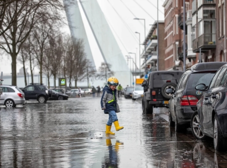
The total length of the smart cycling path is 25 meters. However, for the joint research the length of the cycling path is not that important. What really matters is the ‘state of the art’ smart functionality that is built-in and under the surface–and all of the smart sensors above ground that are pivotal for the further development of Plastic Road, and for providing detailed insights the project provides in mobility behaviour of pedestrians and cyclists.
Lenneke de Voogd-Claessen, programme manager of Do IoT Fieldlab:
‘How does the quality of the various sensors compare, how good is their connectivity and which sensors are most suitable for certain situations? Thanks to our broad collaboration, including start-ups, companies, Field Labs, and researchers, our project will yield insights that allow us to accelerate breakthrough innovations in smart mobility.’
For more information about the cycle path, the sensors and the information that is registered, you can read the privacy statement on the website of the Mobility Innovation Centre Delft.
This project is enabled by MRDH (Rotterdam The Hague Metropolitan Region).